
Photogrammetry. 360°. Gaussian Splatting. One Workflow.
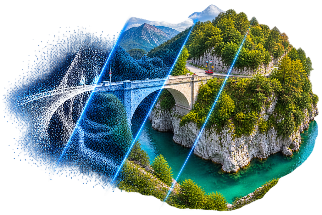
From images and 360° cameras to georeferenced 3D models, point clouds, meshes, Gaussian Splats, DEMs and orthophotos.
- ✓ Frame and 360° cameras
- ✓ Ground control points & RTK data
- ✓ Point clouds, meshes, Gaussian Splats
- ✓ Orthophotos & digital models
One Workflow. From Capture to Result.
1. Import
Load images, 360° videos, RTK data and ground control points.
2. Orient
Compute camera positions and align every image.
3. Georeference
Integrate RTK data and ground control points for accurate scale and position.
4. Reconstruct
Generate point clouds, meshes, Gaussian Splats and digital models.
5. Export
Save results in standard formats, ready for CAD, GIS or BIM software.
Built for Professionals Across Industries
Construction & BIM
As-built documentation, progress tracking and BIM-ready 3D models.
Infrastructure
Precise 3D data for roads, bridges, tunnels and utility networks.
Archaeology & Heritage
Digitally preserve excavations, historic structures and cultural heritage sites.
Geology & Earth Sciences
Document rock formations, outcrops and terrain in high detail.
Surveying & Mapping
Reliable geodata for planning, analysis and monitoring.
Test LumiSplat 30 days for free
- Full functionality
- Available for Windows, MacOS, Linux
- No credit card or login required